// 01
Geo Data Engineering
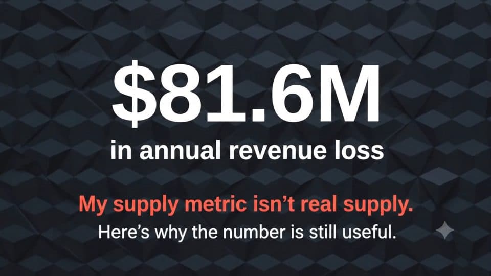
$81.6M PERMINTAAN TAK TERLAYANI
Analisis Kesenjangan Supply-Demand Taksi NYC
Seven-component GCP pipeline over 35M+ validated trips and 185 zones; PostGIS spatial validation showed that dispatch, not road access, was the bottleneck behind $81.6M in unmet demand.
- GCS
- Dataproc
- PySpark
- BigQuery
- dbt
- PostGIS
- H3
- Kestra
- Terraform
- Streamlit
// DAMPAK
- perjalanan
- 35M+
- zona
- 185
- ADR
- 56
Problem
Where is a city losing revenue to fleet misallocation, and what does that gap cost? An independent geospatial data engineering study on a full year of NYC TLC trip records (35M+ trips, 185 zones).
Architecture
- Seven components: GCS → Dataproc/PySpark → BigQuery → dbt → PostGIS on Supabase → Streamlit, orchestrated in Kestra on Docker Compose.
- Infrastructure provisioned with Terraform and service-account-scoped IAM.
- A full year of TLC Parquet processed into 35M validated records on ephemeral Dataproc clusters, handling a mid-year schema change through per-file read, cast and union; H3 resolution 8 enrichment.
- dbt staging, intermediate and mart layers with data tests as regression guardrails.
Key decisions
- Rate-of-totals instead of average-of-ratios: the naive aggregation would have understated the finding by 30%.
- PostGIS validation: ST_Within borough checks (181/185 cells matched, surfacing the Marble Hill anomaly) and ST_Buffer transit-hub proximity ($11.4M commuter-exit gap near Penn Station).
- Road-segment falsification: a join over 72,005 OpenStreetMap drivable segments showed undersupplied zones are not worse served by roads, so dispatch and positioning, not physical access, is the bottleneck.
Results
- $81.6M in unmet demand quantified; top gaps JFK $26.3M (79% unfulfilled) and LaGuardia $15.0M.
- 56 architecture decisions documented with explicit trade-offs and rejected alternatives; the limits of the supply proxy are stated, not hidden.