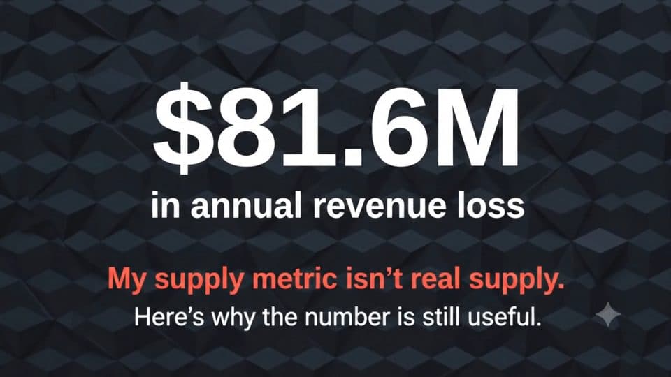
Seven-component GCP pipeline over 35M+ validated trips and 185 zones; PostGIS spatial validation showed that dispatch, not road access, was the bottleneck behind $81.6M in unmet demand.
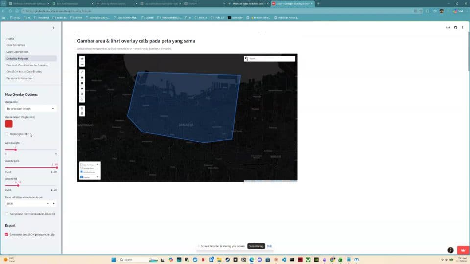
Self-service Python and Streamlit tool, still in production, that lets non-geospatial teams extract geohash schemas from map polygons without GIS skills.
// DEMO
Python
Streamlit
Geohash
Buka studi kasus →
// 03
Solution Design
3 TINGKAT SENSITIVITAS DATA · 9 ALTERNATIF DITOLAK
End-to-end solution design for a national maritime authority scenario: architecture, detection and investigation workflows, WebGIS wireframes, sizing, licensing, and nine rejected alternatives.